Tech Deep Dive: Understanding the technology behind DAWSON’s operations
The Hoʻōla Maui hui is made up of organizations who have come together to share their expertise and resources. Under DAWSON’s leadership as the prime contractor to the U.S. Army Corps of Engineers (USACE), Hoʻōla Maui members and partners are working to ensure the Hazard Site Assessment effort is thorough and efficient.
As DAWSON tier-two sub and a partner in the Hoʻōla Maui hui, DebrisTech is providing industry-leading debris removal documentation technology and data collection support. This is a critical component to the success of this phase of the clean-up. Not only does it provide all the necessary data for monitoring and reporting the progress of the team’s work in real time, it paves the way for the next phase of the clean-up. So what exactly does DebrisTech’s technology do, and why is it important to DAWSON’s operations in the field?
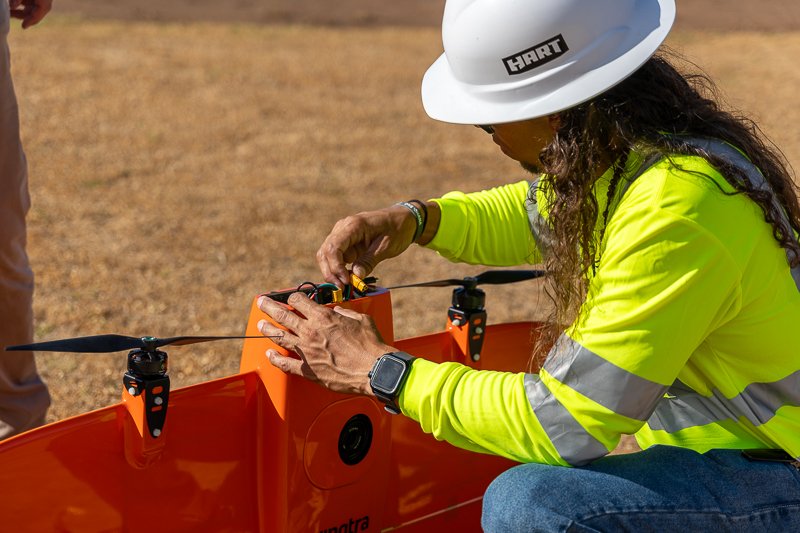
Using drones and a 360-degree camera, DebrisTech built an interactive map of the affected areas in Lahaina, Kula and Olinda. It allowed DebrisTech to capture detailed and street-view imagery of the damaged areas, giving crews foundational information for hazardous site assessments.
Preparing to launch the aerial drone.
Street view UTV.
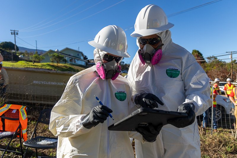
With this interactive map as the basis, field crews then take iPads loaded with DebrisTech’s custom-built documentation software into the impacted area to pinpoint the exact locations of items and infrastructure on each property. These iPads allow crews to nimbly move between zones, make digital sketches on the interactive map, and take photos of hazards like downed power lines or cars. Crews can also document culturally significant items found on properties so those items can be preserved and protected by cultural monitors from Na Aikane o Maui, who are present while any site assessments or field work is being done. If samples for hazardous materials like asbestos need to be taken, crews use the iPads to log where the sample was collected. All data collected is tagged with GPS coordinates resulting in an extremely detailed survey of each property that can be reviewed and assessed with a touch of a button.
Crews log all data using iPads from the field.
What truly sets this technology apart is the fact that everything happens in real-time. Teams back in the Operations Center review the data submitted by field crews as it’s collected, so if information is missing, they can quickly call field crews to return to a specific property. This has helped DAWSON crews and Hoʻōla Maui partners work efficiently and thoroughly, ensuring every property is fully surveyed for hazards ahead of the next phase of cleanup.
Quality control teams review photos captured by field crews in real-time.
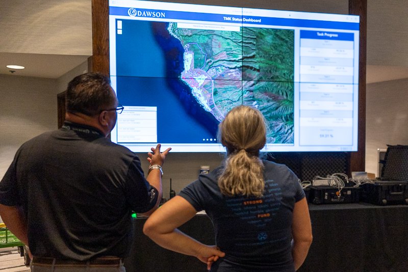
DebrisTech has also created a data dashboard which shows the daily progress of the hazardous site assessment work, so everyone knows how the work is progressing.
The dashboard orients everyone working in the Operations Center on the progress.
Once a property has been surveyed by field crews and checked for quality, DebrisTech’s software automatically generates that property’s unique hazardous site assessment report, so future crews have all the information they need to remove debris safely.
While this is DebrisTech’s first time working in Hawaiʻi, the Mississippi-based company has decades of experience working across the United States helping communities monitor and document debris removal in the aftermath of natural disasters. For Tyler Williamson, a project manager with DebrisTech, the experience of working with DAWSON and Hoʻōla Maui has been a memorable one.
“It’s been a very humbling experience for us,” Williamson said. “Working side-by-side with the local people has humbled me – the way they come in with a smile on their faces every day, even when they have lost so much, makes you grateful for the opportunity to help and for everything you have.”
The experience of partnering with DAWSON and Hoʻōla Maui has also been uplifting. “Everybody is relying on everybody to do what they’re good at,” said Williamson. “This has probably been one of the strongest partnerships we’ve ever been a part of. We’ve been one ʻohana, and that goes a long way in being successful with this project.”


